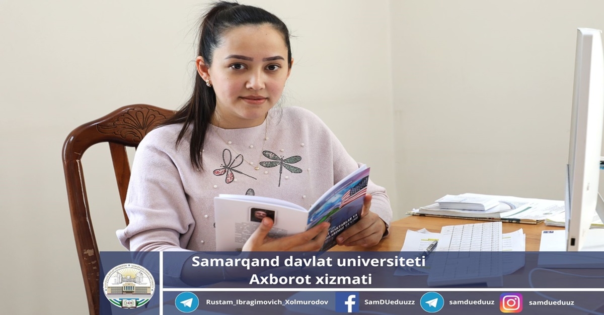
A researcher at Samarkand State University is studying changes on the banks of the Zеrafshan River using satellite images...

Shakhnoza Khudoyorova, doctoral student at the Department of Geology and Hydrometeorology at Samarkand State University, is conducting scientific research on the topic “Assessing changes in river flow using geographic information systems (using the example of the Zerafshan River).”
More than 10 articles have been published in prestigious journals and conference proceedings in countries such as the USA, Russia, Germany, India and Kyrgyzstan.
My doctoral thesis analyzes changes in the banks of the Zerafshan River using remote sensing technologies. Remote sensing is the study or collection of information from a distance. Such surveillance is carried out using ground-based devices and sensors or cameras on aircraft, satellites or other space-based devices. The upper and middle reaches of the Zeravshan River were taken as the object of study. This corresponds to the border regions of Uzbekistan and Tajikistan. As a result of the research, data for 2000, 2005, 2010, 2015, 2020 are studied using satellite images of coastal changes using the MNDWI, WRI water indices. Also, the processed materials are mapped using the ArcGIS program and changes observed on the banks of this river basin over the years 2000-2020 are determined...


Information service of
Samarkand State University.

